Making Acquaintances
In my previous sojourns as a water quality scientist, I spent time in the watersheds of some of America’s biggest and most iconic rivers, travelling hours from site to site, moving from high alpine streams to trickles cutting through the desert to rivers the size of multi-lane highways flowing across the plains. All of this is to say- I have experienced nothing quite like the Ossipee Watershed.
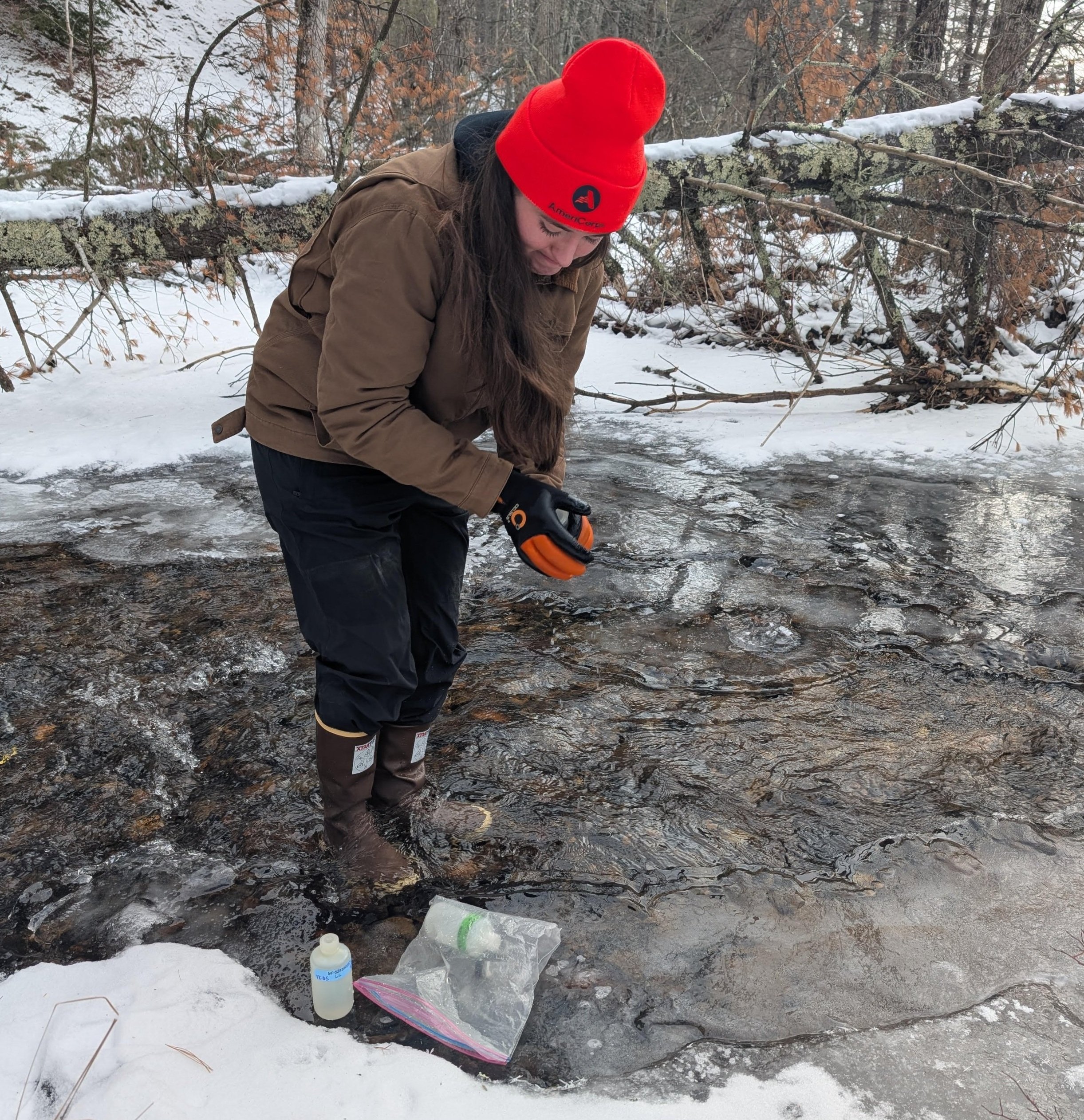
One of the most significant responsibilities I have as an AmeriCorps member with Green Mountain Conservation Group is to oversee a watershed-wide, volunteer driven water quality monitoring program called RIVERS. Seeing as this program is such a significant element of my service term, I instantly knew getting to know the project’s local focus- the Ossipee Watershed- would be a priority. With about an hour’s drive between the north-most and south-most sites we sample, I initially saw the act of getting acquainted with the watershed to be a reasonably simple task. I kicked things off with a map of the area on printer paper and got to work, labelling everything from dams to culverts to transfer stations - and quickly ran out of sticky tabs. Seeing what I thought to be a fairly straightforward project get more and more complicated, consuming increasingly more space on my desk, let me know it was time to take a different approach. This ultimately led me to the wonderful world of arcGIS, where I dove headfirst into mapping every detail I thought relevant to our watershed’s water quality. I spent many snowy days indoors, playing detective with gravel pits and capped landfills, condensing everything I knew into spreadsheets.
With the slow and temperamental arrival of spring, I noticed myself gaining a new perspective. The outlines of streams and vernal pools began to peek out from beneath the snow cover, revealing the connections I had previously only been able to visualize behind a screen. I began to notice the proposed gas station sites and paper mills, once just blue and green points on a map, now distractions on the drive to the grocery store. Time brought what I already knew about the watershed to real life- but there were still pieces missing.
These pieces, I have come to understand, are harder earned. There’s no technological substitute for daily evening runs along the Ossipee River, or for the well-fed, but enthusiastic dog that sometimes joins me. I can read articles about the avian species in the watershed, but they won’t tell me that the bluebirds in my yard are particularly mean and peanut obsessed, or that the chickadee and tufted titmouse prefer to show up to my bird feeder as a team. ArcGIS can do plenty, but it can't make you fall so spectacularly while skiing that a fellow skier decides to strike up a conversation, and ends up engaging you earnestly in her thoughts on the conservation easement she lives by. Developing a lived and intimate understanding of a place is not quick work- it’s riddled with embarrassment, awkward phone calls with animal control, and monthly birdseed restocks. It’s also, as I have come to believe, as essential to the study of our watersheds as anything else.
Emma Revenaugh (she/her) is serving as the Water Quality Resources Assistant for Green Mountain Conservation Group. She is passionate about being just okay at a lot of things, not limited to running, knitting, pizza making, and having a Minnesotan accent. Learn more about Emma here.


